Contours, Rennes
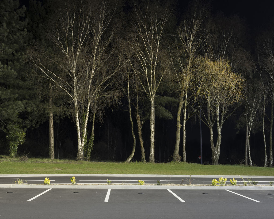
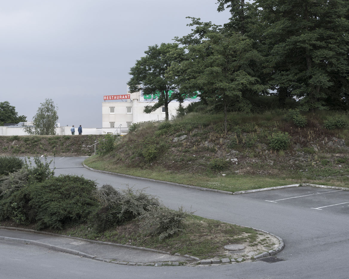
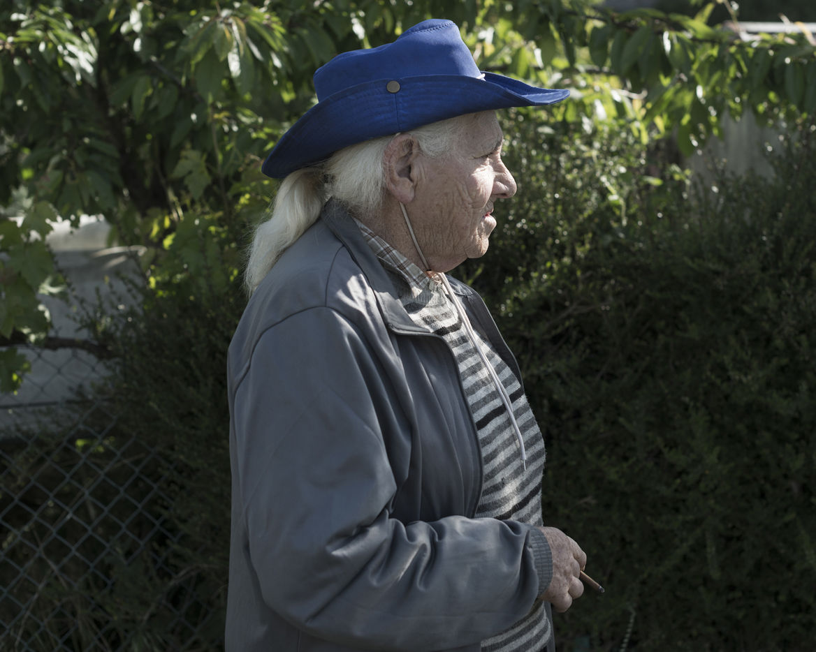
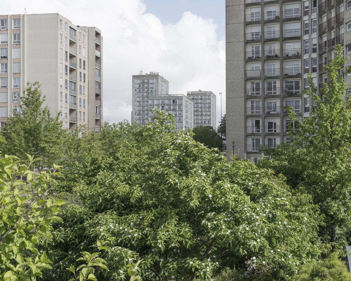
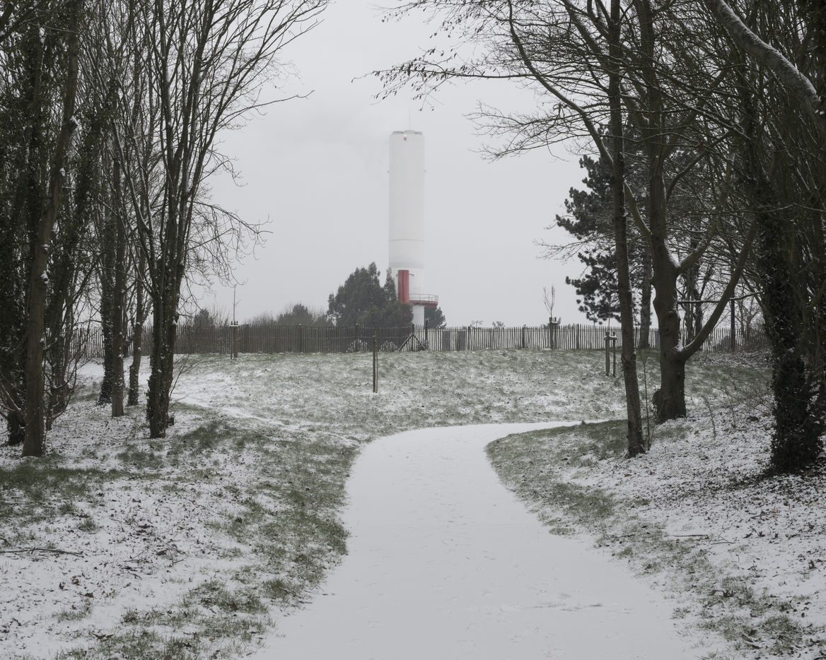
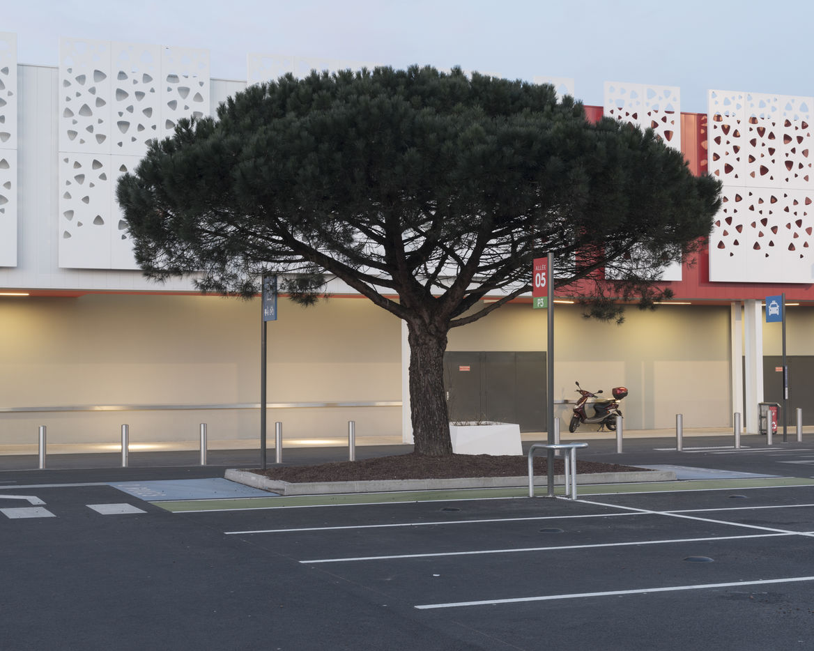
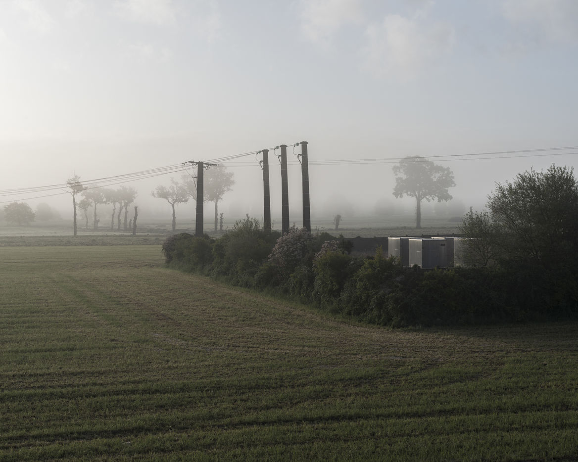
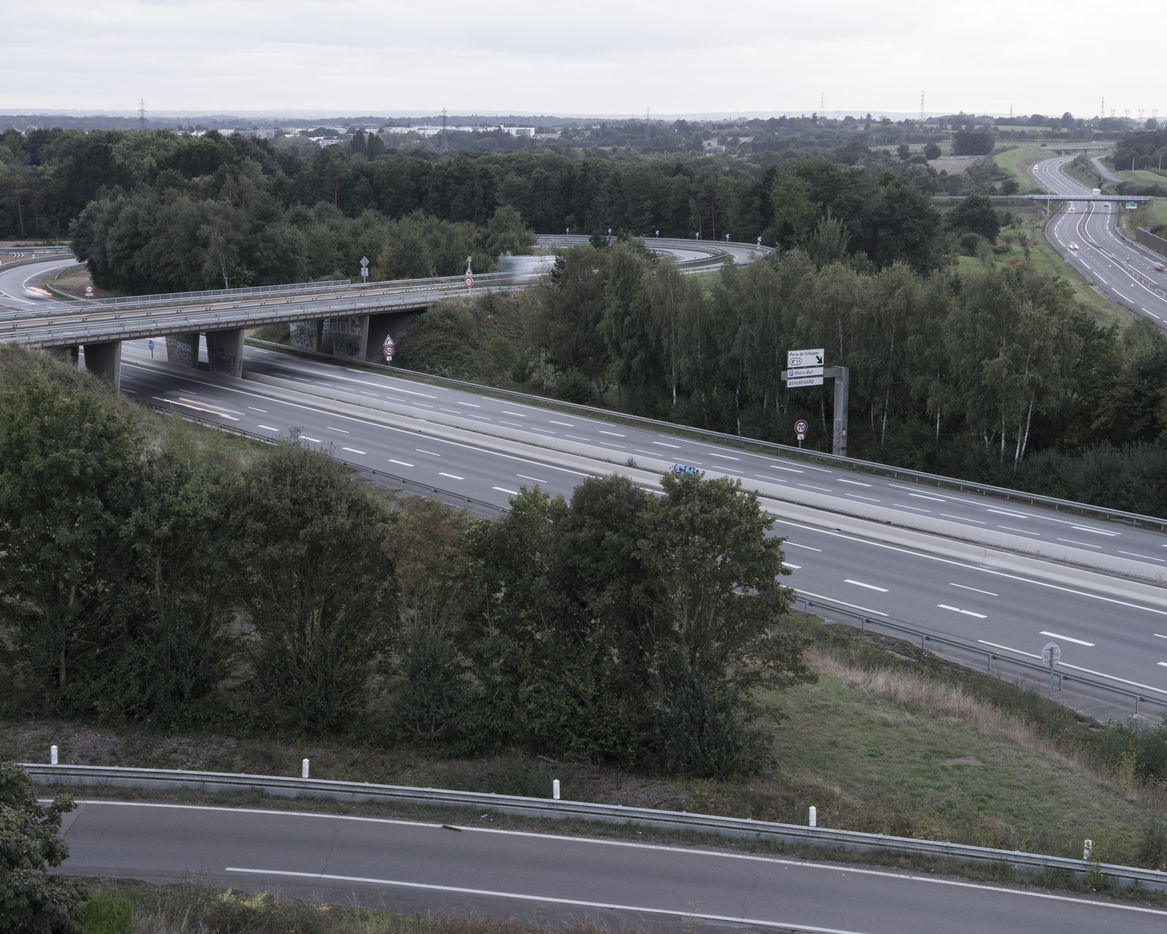
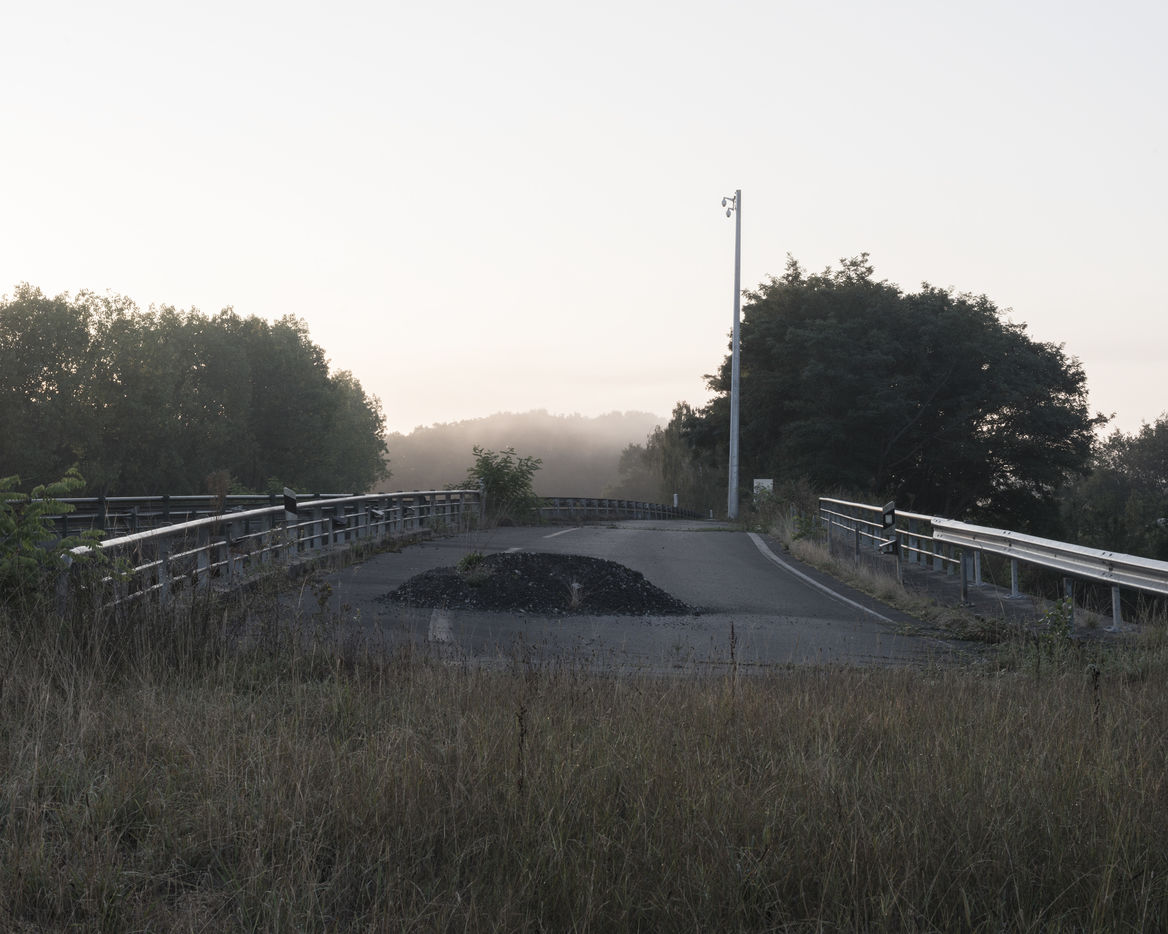
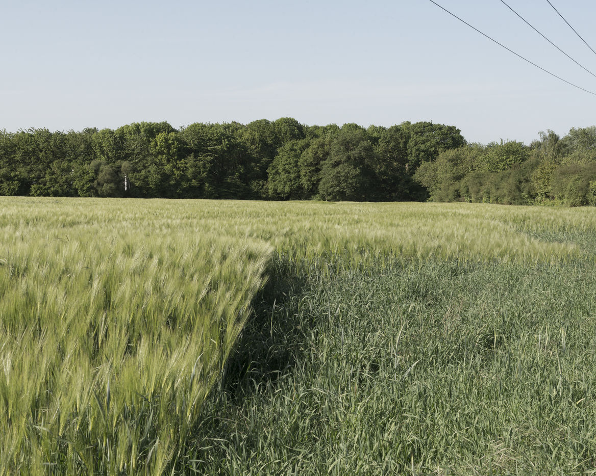
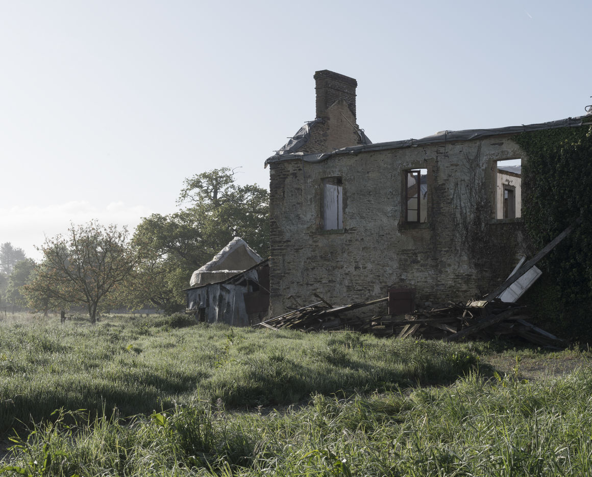
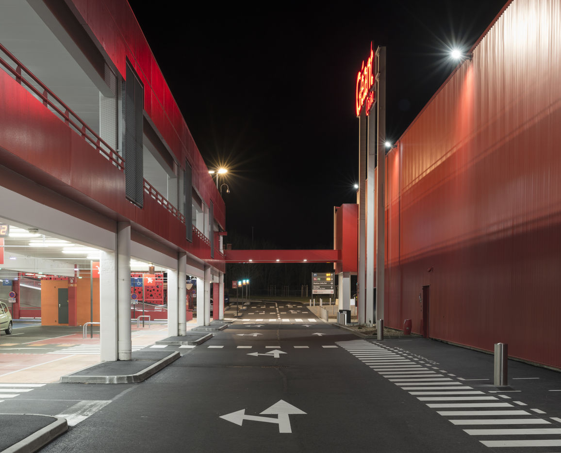
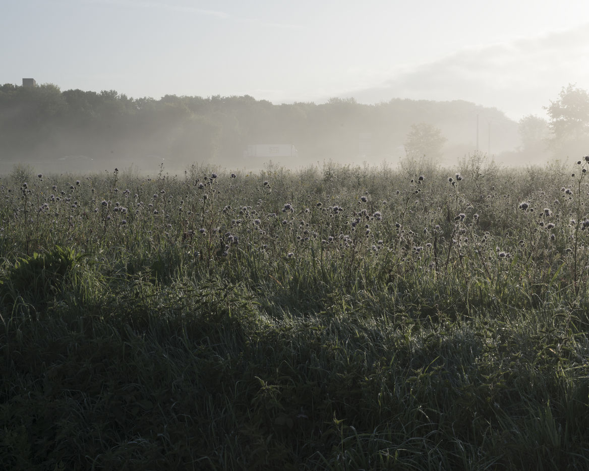
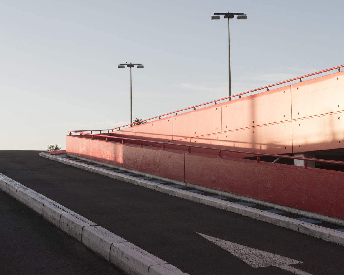
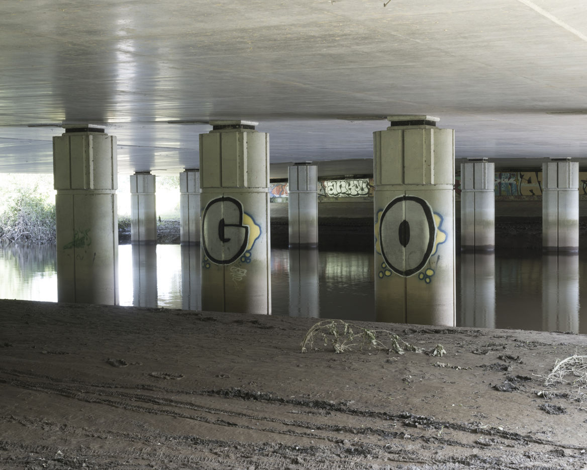
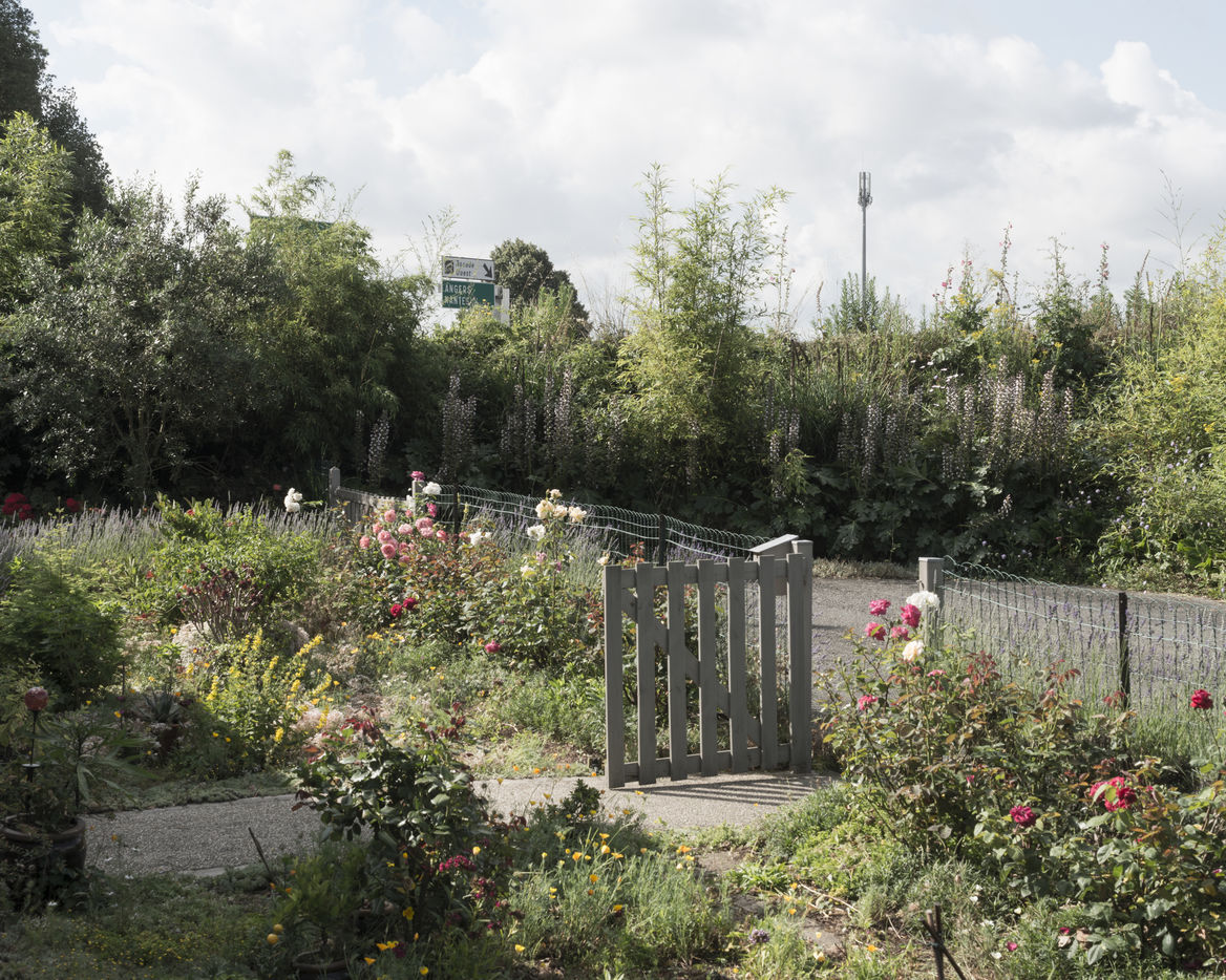
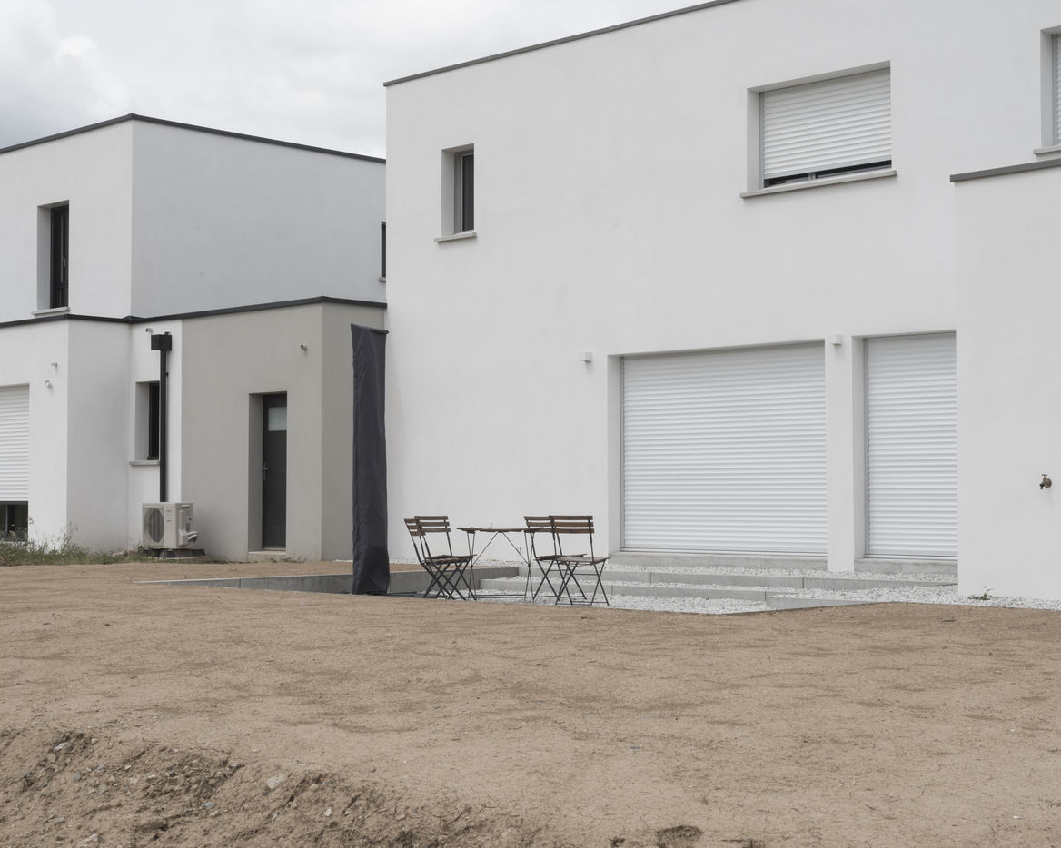
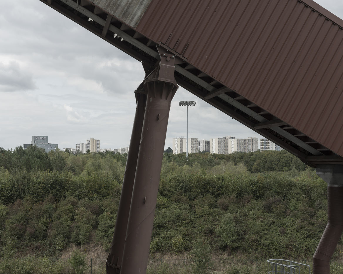
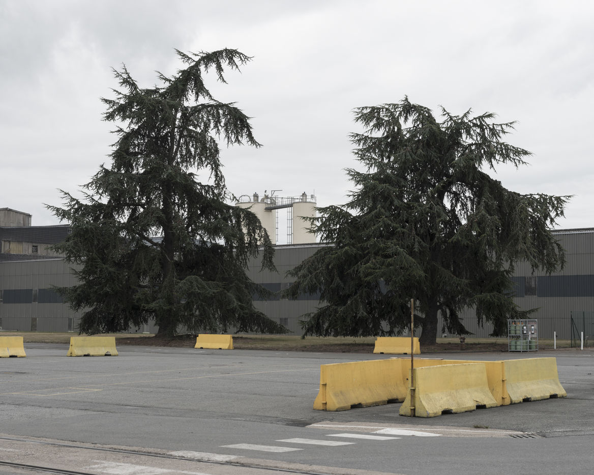
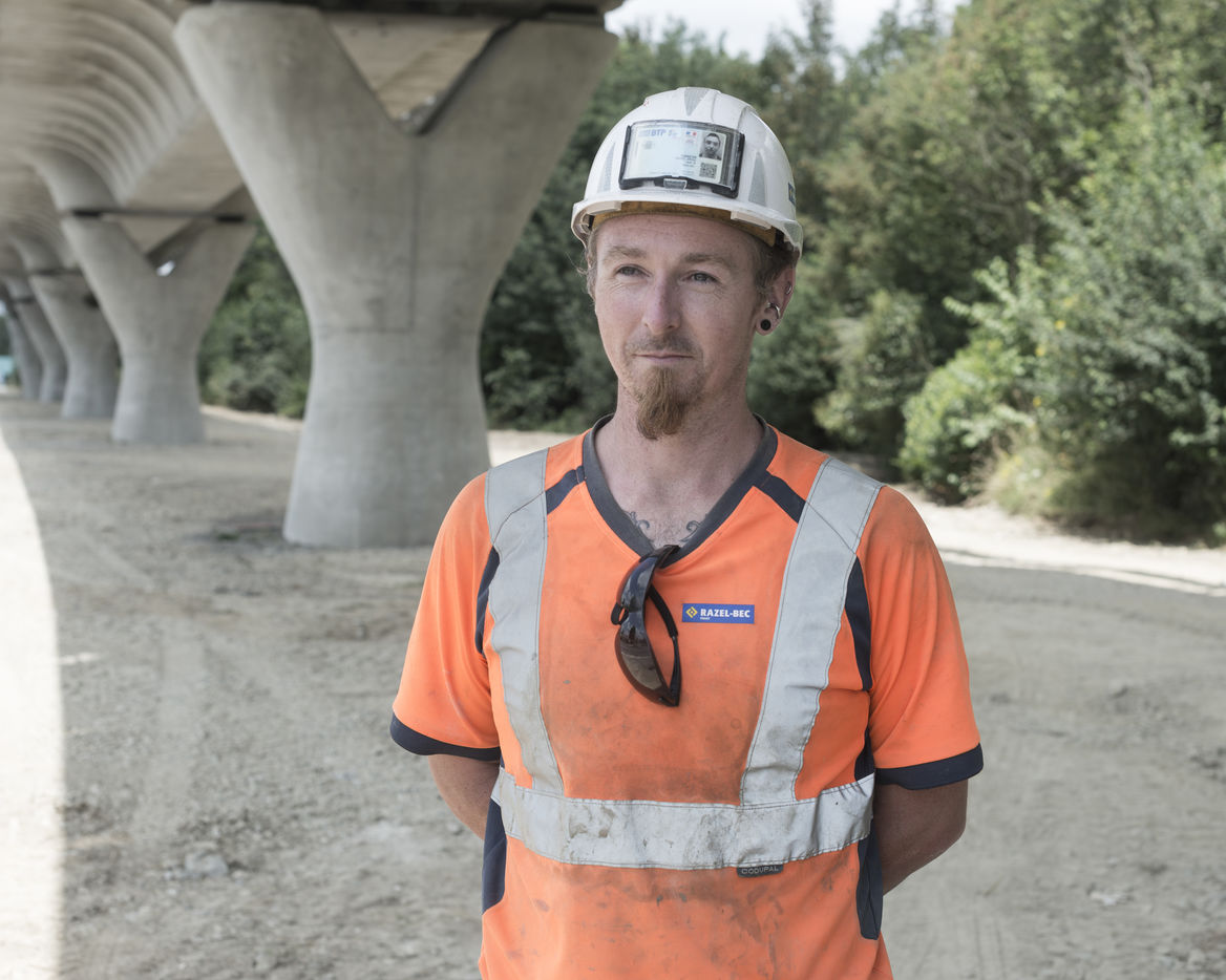
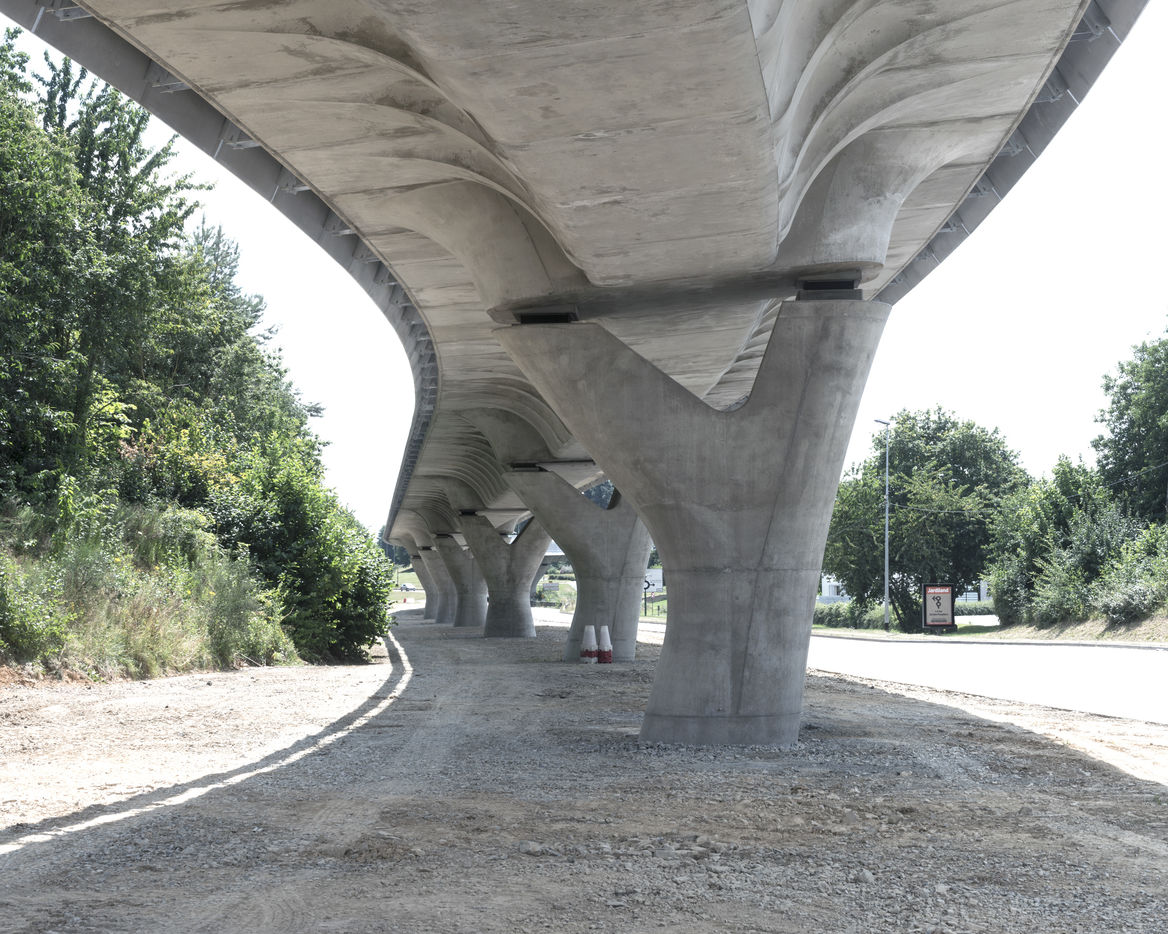
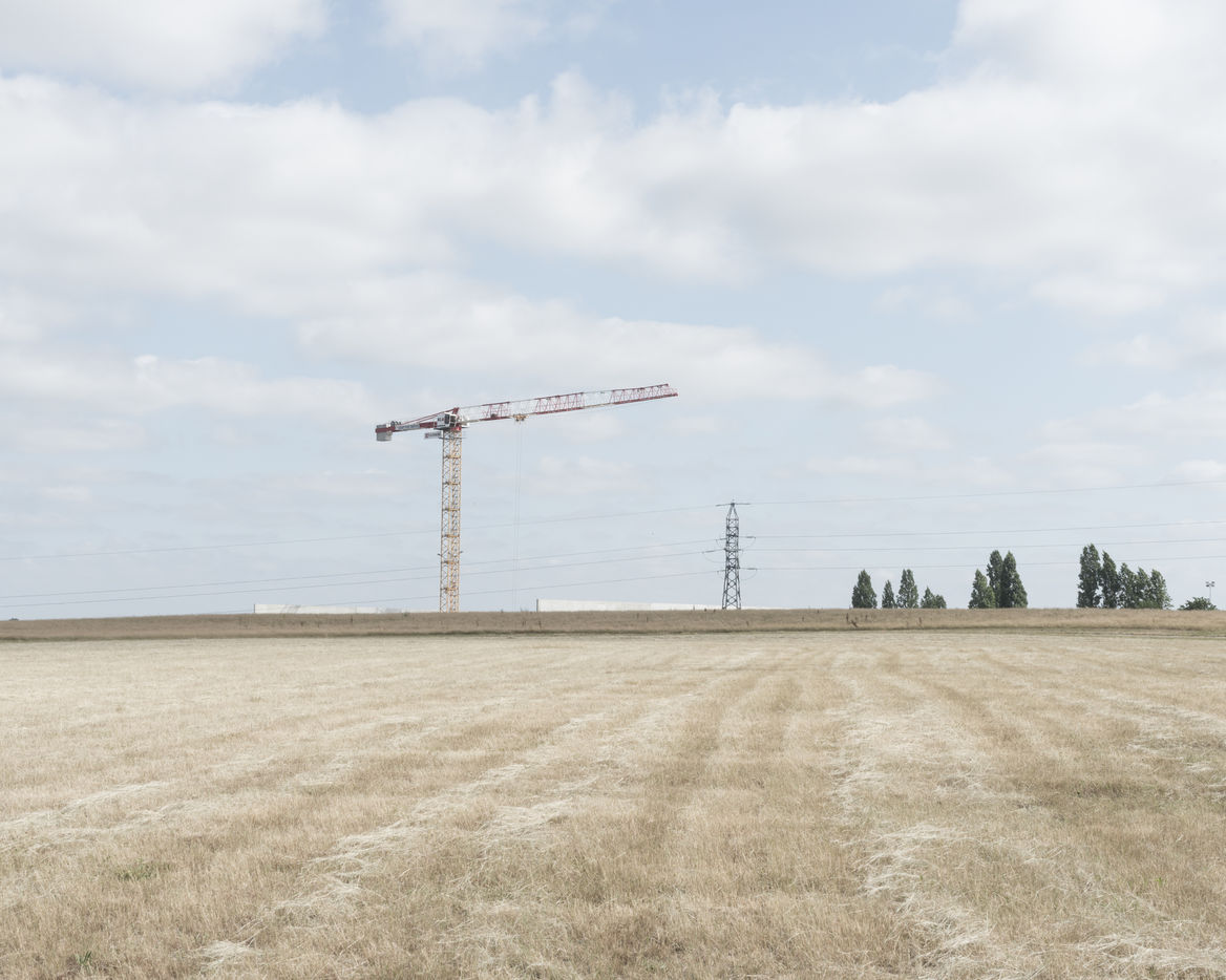
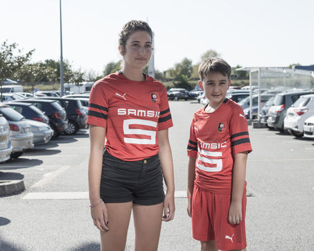
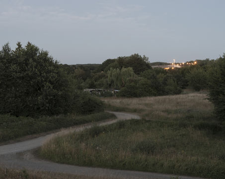
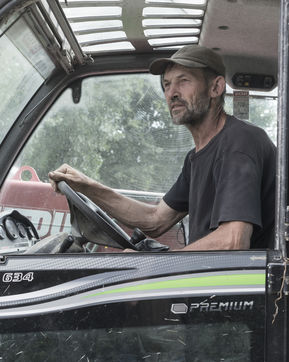
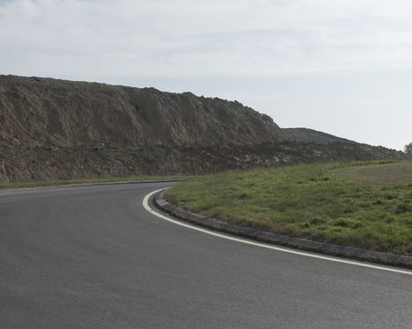
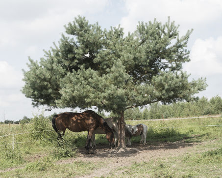
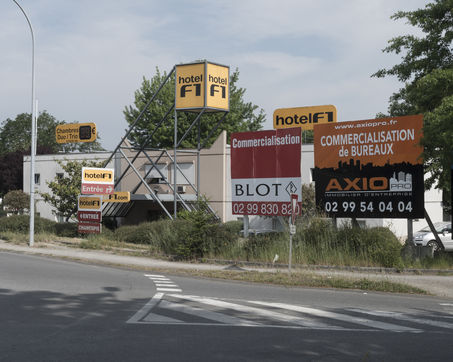
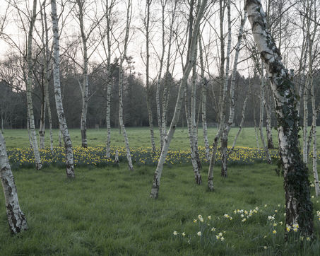
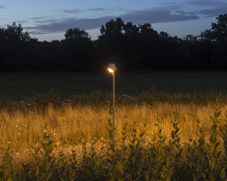
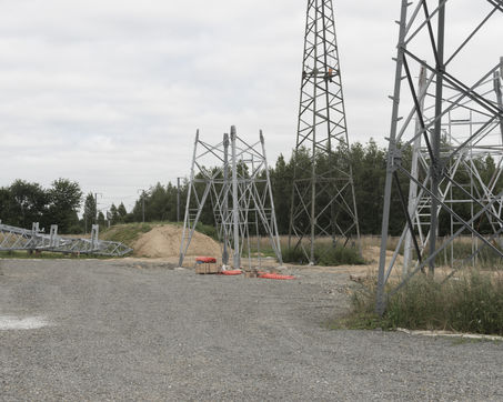
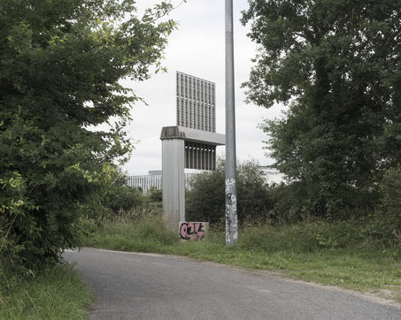
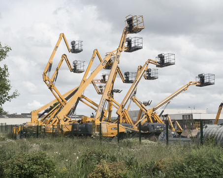
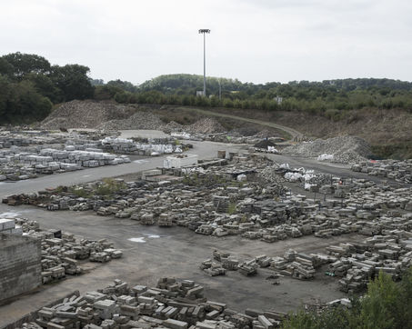
Rennes possède une « ceinture » verte, véritable trame du contour de la ville. Cette ceinture décrit les limites de l?expansion de ses contours suivant le dessin de la rocade. Dès les années 1970, s'est instaurée une réflexion stratégique destinée à développer une vision globale pour le devenir de la métropole rennaise. Il s'agit alors d'une première approche du concept « ville archipel », basé sur une alternance ville-campagne et sur l'importance des ceintures vertes qui englobent les aires urbaines. En effet, cette organisation territoriale laisse une large place aux espaces naturels et agricoles entre les bourgs et les villes. Peu de temps avant, en 1967, commencent les travaux de construction de la rocade de Rennes traçant ainsi les contours de la « ville-centre » de la métropole. Cette voie forme aujourd'hui un anneau de 31 kilomètres. Si la rocade impose physiquement les bordures de la ville, le paysage urbain contemporain forme un ensemble hétéroclite d'espaces aussi différents que des parcs, des industries, des habitations, des centres commerciaux, des champs à ses abords. L'urbain, le périurbain et le rural s'interpénètrent dans ces lieux transitionnels que sont ces marges. À travers un parcours photographique entre axe routier et aménagement urbain, en longeant les zones des limites extérieures et intérieures, nous avons voulu documenter l'organisation de la ville à travers son urbanisation, son aménagement et ses infrastructures. En suivant le parcours de la rocade, dans un sens, puis dans l'autre, dans les limites sonores de l'axe routier, nous nous sommes attachés à décrire la particularité des lieux et à faire le portrait des personnes qui les traversent, qui les habitent. La périphérie, souvent perçue négativement, s'est avérée riche en paysages et en rencontres.
Contours, Rennes
Rennes has a green "belt", a real framework for the city's outline. This belt describes the limits of the expansion of its contours following the design of the ring road. In the 1970s, a strategic reflection was established to develop a global vision for the future of the Rennes metropolis. This was the first approach to the "archipelago city" concept, based on an alternation of town and country and on the importance of green belts that encompass the urban areas. Indeed, this territorial organisation leaves a large place for natural and agricultural spaces between towns and cities. Shortly before, in 1967, work began on the construction of the Rennes ring road, thus tracing the contours of the "city-centre" of the metropolis. This road now forms a 31-kilometre ring. If the ring road physically imposes the edges of the city, the contemporary urban landscape forms a heterogeneous set of spaces as different as parks, industries, dwellings, shopping centres and fields on its outskirts. The urban, the suburban and the rural interpenetrate in these transitional places that are these margins. Through a photographic journey between the road axis and the urban development, following the zones of the outer and inner limits, we wanted to document the organisation of the city through its urbanisation, its development and its infrastructures. By following the route of the ring road, in one direction, then in the other, within the sound limits of the road axis, we set out to describe the particularity of the places and to draw a portrait of the people who cross them, who live there. The periphery, often perceived negatively, proved to be rich in landscapes and encounters.
